Back to All Projects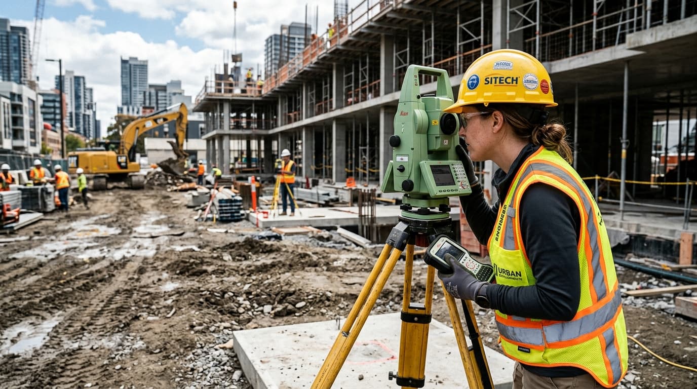
Survey & Design
Digital Topographic Land Survey & Demarcation
Dhaka & Surrounding Areas
Engineering Scope & Execution Summary
Comprehensive boundary demarcation, contour profiling, benchmark leveling, and digital CAD mouza overlay maps.
Engineering Standards & Assurance
Strict adherence to approved architectural drawings, structural engineering specifications, and safety codes.
Direct mill and quarry procurement of certified construction materials with lab test reports.
On-site engineering supervision ensuring quality concrete batching, rebar placement, and site safety.
Loading quotation form...